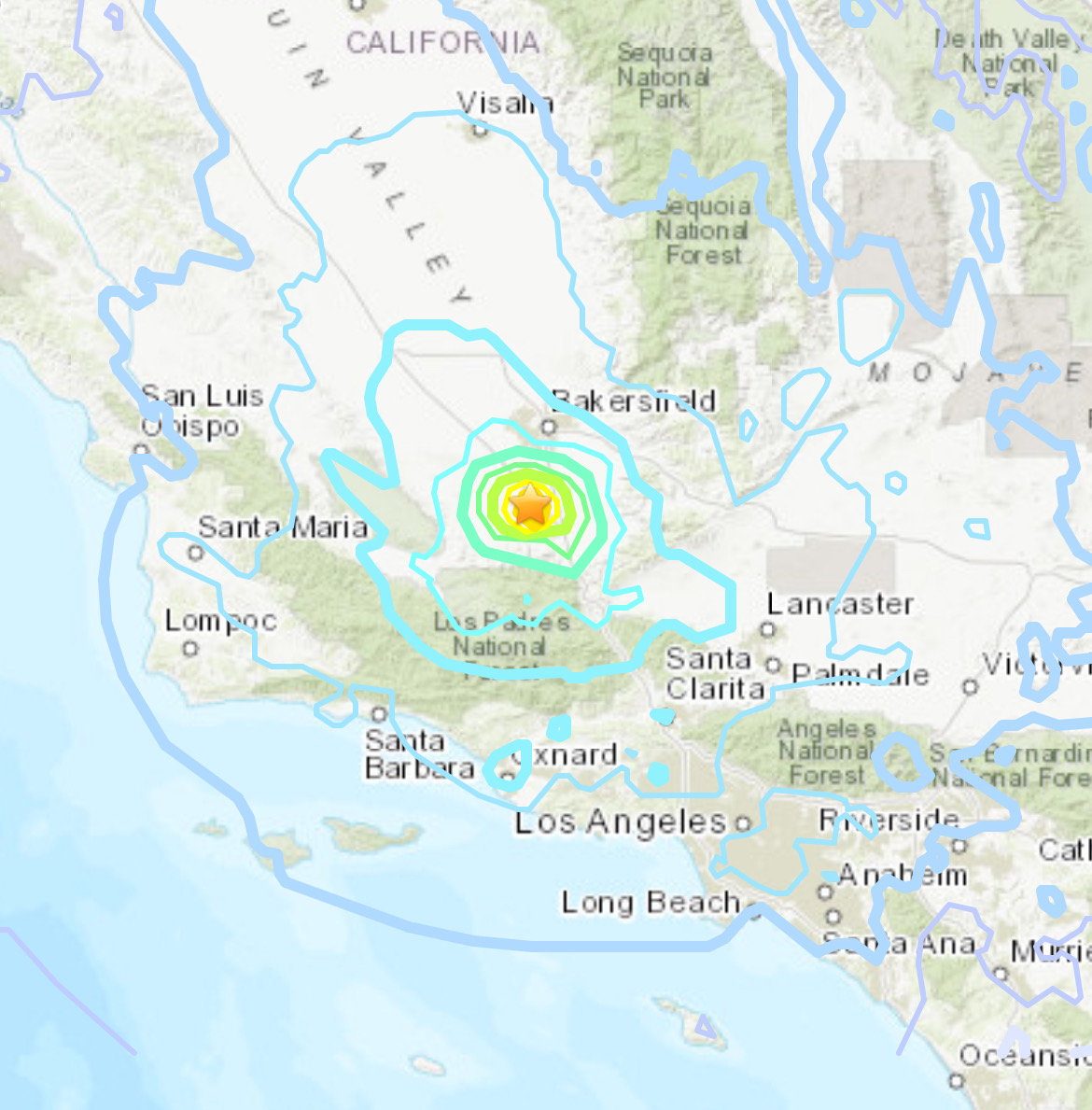
A moderate earthquake with a magnitude of 5.2 struck the area near Bakersfield, California on Tuesday evening, sending tremors felt across Southern California.
The quake’s epicenter was located approximately 7.6 miles west-northwest of the community of Mettler in Kern County, nearly 19 miles south of Bakersfield and 89 miles north of downtown Los Angeles, according to data from the U.S. Geological Survey (USGS). It occurred at a depth of around 6 miles just after 9 PM.
Residents in various cities, including Ventura, Simi Valley, Camarillo, Santa Clarita, Encino, Hollywood, Santa Monica, North Hollywood, Pasadena and Woodland Hills, reported feeling the shaking from the quake.

Caltech’s Seismological Laboratory recorded at least 31 aftershocks with magnitudes up to 4.5 following the initial tremor.
The Los Angeles Fire Department activated “earthquake mode”, which prompted all 106 of its neighborhood fire stations to survey the area by land, air and sea. However, no significant infrastructure damage or injuries were reported within the city.
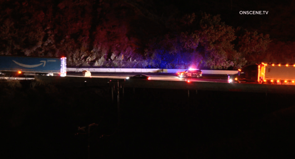
While the quake did not cause major issues in Los Angeles, it did lead to disruptions on the 5 Freeway. A large boulder that likely fell due to the shaking blocked several southbound lanes near the Grapevine Road area, resulting in significant traffic backups.
Prominent seismologist Dr. Lucy Jones noted that the 5.2 magnitude quake was located near the southern end of the Central Valley, close to the White Wolf fault which produced a powerful 7.5 magnitude quake in 1952. However, this latest tremor did not appear to be directly on that fault line. Jones also cautioned that, as with any quake in Southern California, there was a 5% chance it could be followed by a larger event.

